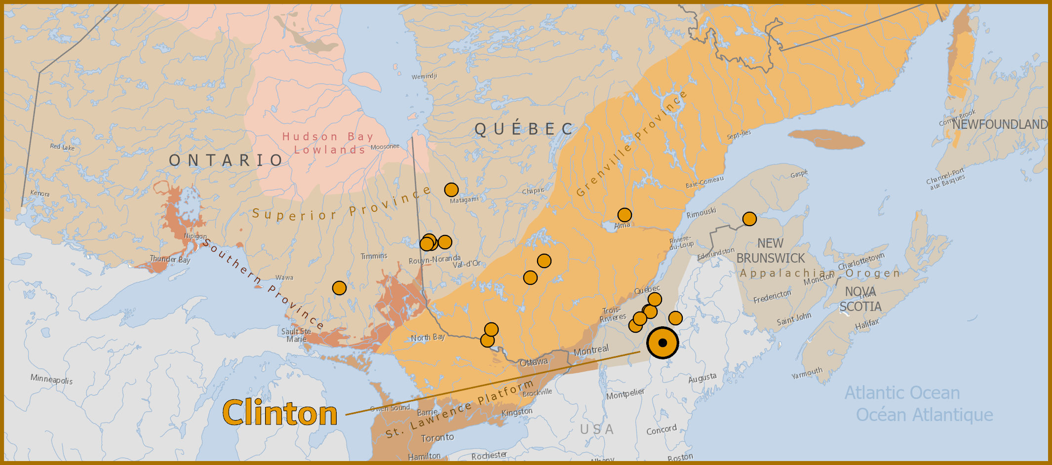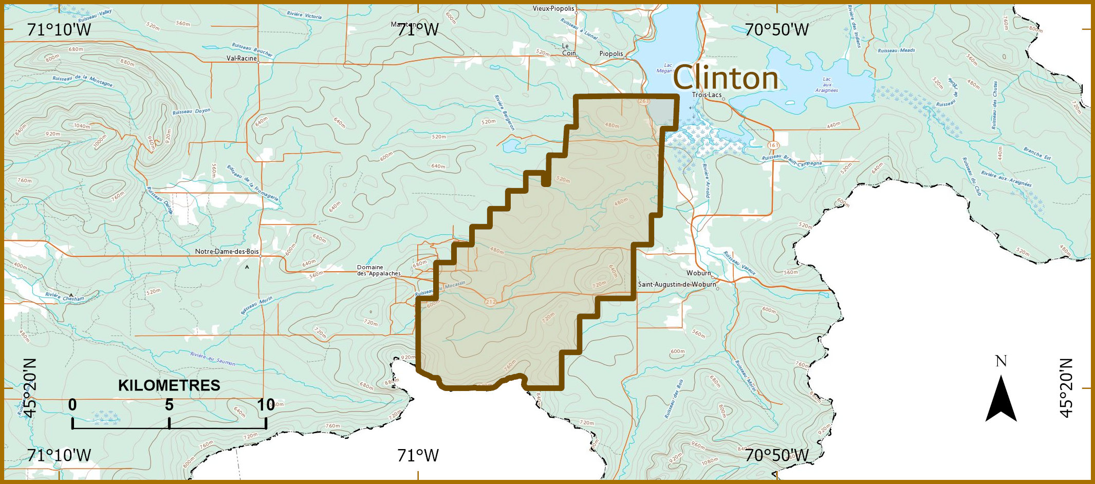

The Clinton property, located in the Northern Appalachian, some 20 kilometers southwest of the town of Mégantic, may represent a structural window within the Clinton River Anticlinorium of Ordovician Age. This window is situated between two major structures of the Northern Appalachian : The Gaspé-Connecticut Valley Synclinorium to the NorthWest and the Boudary Mountains Anticlinorium to the SouthEast. The project is underlain by volcanic rocks of the Chesham Melange, and sedimentary rocks of the Clinton Formation, and host numerous precious metal bearing VMS occurrences and small past producers, along a NE trend across the property.
The Clinton mine produced between 1973-75, and reportedly mined an average grade of 2.65% Cu, 2.43% Zn, 30.03 gpt Ag, and 0.45 gpt Au [Groupe Minier Sullivan, 1973 Annual report]. Five small sulphide lenses, containing a non-compliant historic resource of 1.52Mt at 2.02% Cu and 1.54% Zn, remain on the property [MRNFQ Fiche de Gite 21E07-0007]. Fancamp has held the project since 2010, and has conducted 4 drill programs for 45 holes, testing various targets. The best intercepts returned from Fancamps work was 1.79% Cu over 6.19m within a 14.58m wide zone of 1.09% Cu (Fancamp's Press Release of July 16, 2012), and 1.27% Cu, 1.14% Zn, and 11 gpt Ag over 11m (V3 zone, Fancamp's Press Release of Oct. 14, 2014), and 2.78% Cu and 16.9 gpt Ag over 24.7m (V1 zone, Fancamp's Press Release of Oct. 14, 2014).